Site Location
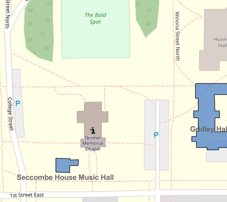
The Seccombe House Music Hall was originally built just north of 1st Street, in what today is Skinner Chapel’s southwest lawn. It’s approximate historic location was determined using old campus maps and photographs from the late 19th and early 20th centuries.
Geophysics Survey
The students in our class collaborated with archaeologist Geoff Jones of Archaeo-Physics LLC, a geophysics survey company out of the Twin Cities that specializes in archaeological prospection using non-destructive, below-surface mapping.
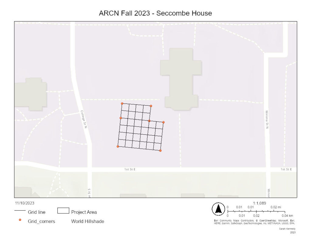
We set up a grid and conducted a variety of geophysical surveys to identify the location of the Seccombe House, as well as any other below-ground anomalies. This included 1) electrical resistance 2) electromagnetic conductivity and 3) magnetic susceptibility. We also tried ground penetrating radar (GPR) but that did not work well with the soils of the Chapel lawn.

Following the results of the geophysics survey, we tested the dark areas with a probe, and located a general outline of the old Seccombe House’s stone foundation. This helped us choose locations to put our excavation units, hoping to reveal the building foundations and understand more about the anomalies we saw in the below-ground mapping.

Excavations
Following the results of the geophysics survey, we laid out two 1x2m excavation units. We ended up excavating three distinct levels below the surface in each of the two units.

Unit 1
3D Model
Unit 1 was aligned north/south toward the western edge of the Seccombe House. In the final level, Level 3, you can see a modern modern white pvc sprinkler pipe exposed at the north of the unit (running east to west). This sprinkler system is modern and for the Skinner Chapel Lawn.
Roughly 1.5 meters south of the sprinkler system, at the bottom of Unit 1, you can see the Seccombe House stone foundations. These are from 1866.
There are also bits of clay, rubble, and a round hole in the unit.


Unit 2
3D Model
Unit 2 was also aligned north/south, but with its long edge running east/west. It was placed along the eastern edge of Seccombe House, to identify the southeastern corner of the house. In the final level, Level 3, you can see a modern white pvc sprinkler pipe exposed in the north of the unit (running east to west). This sprinkler system is modern and for the Skinner Chapel Lawn.
Right below the sprinkler system you can see two of the walls. They make up the southeast corner. These are from 1866. There are also bits of clay, rubble, and a round hole in the unit.

